Unlimited Digital Access / Get £25 off your Annual Digital Subscription! Use code 25OFF
GET STARTEDMore on KentOnline
Unlimited Digital Access / Get £25 off your Annual Digital Subscription! Use code 25OFF
GET STARTEDMore on KentOnline
Drones could be the latest weapon in the battle to tackle badly-damaged roads in Kent.
County transport officials are to continue a trial looking at how drones could be used to find and assess damage to the county’s roads.
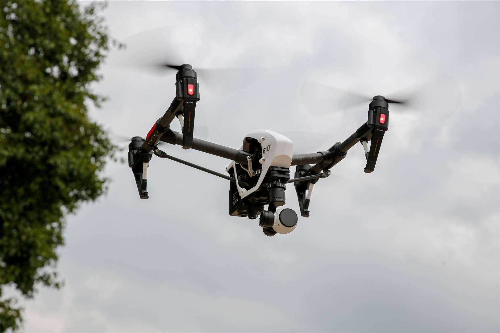
The Kent Live Labs project will see three separate flights taken across the A20 near Lenham over the next few months, and will run until November.
Images from the identical flights will then be analysed to better understand the change in condition of the landscape and road, power and water networks.
The first phase, carried out at the Kent Showground car park in Detling last year, looked at spotting potholes, tarmac conditions, trees and street lighting over three flights across seven months.
They allowed engineers to spot deterioration over time and flagged faults including cracks in the road, which were able to be measured remotely.
Cllr David Brazier, KCC’s cabinet member for highways and transport, said: “Technology is adapting all the time and KCC is utilising this trial to be at the forefront of adjusting the way it works.”

If successful, the drones could be used to keep a check on the condition of roads, with fewer occasions when roads have to be closed.
He added: “The county has a range of landscapes, from rural roads to busier main routes, all of which are crucial to Kent’s diverse economy. Understanding how this technology works and what it can do for us is essential to smarter management of our roads.”
KCC is working with AmeyVTOL, Collins Aerospace and aerial film specialists Aviat Drones.
Read more: How much would it cost to ride county of potholes for good?
Kent Live Labs Project Manager, Carol Valentine, said: “The drones use high resolution imaging sensors and collect data to be processed into digital replicas – this means we can overlay images of the surveyed network and analyse the differences in the images."
“By flying regularly, critical changes can be identified helping us to schedule smarter remedial works on our network.”
Avoid getting stuck on Kent's roads by keeping up-to-date on all of the latest traffic and travel news here or by following our live blog.