GO AD-FREE. Get 2 Months Digital Subscription for ONLY £1! Use code 2FOR1
GET STARTEDMore on KentOnline
GO AD-FREE. Get 2 Months Digital Subscription for ONLY £1! Use code 2FOR1
GET STARTEDMore on KentOnline
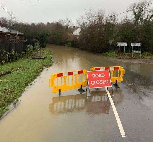
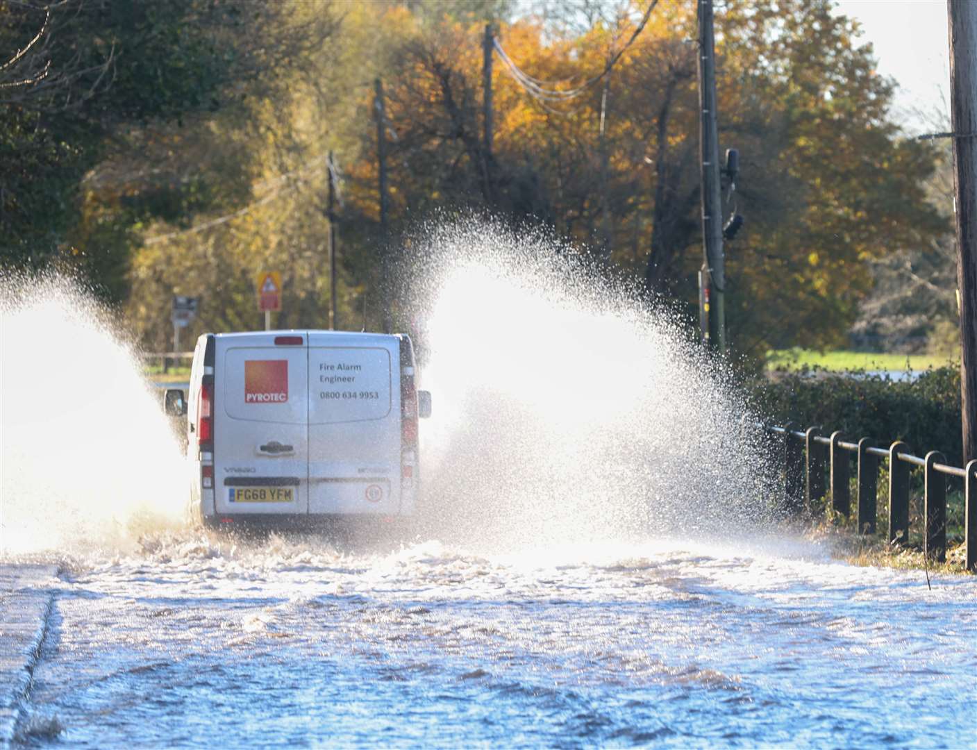
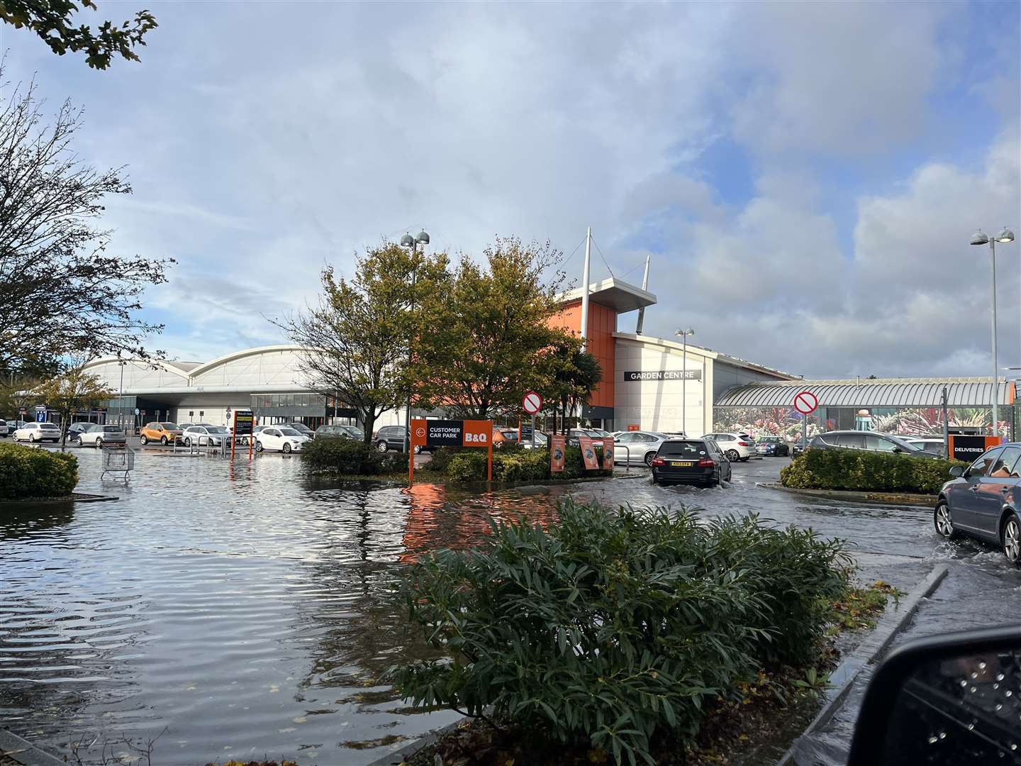
Flood alerts are still in force in parts of Kent after heavy rain caused river levels to rise.
The warnings from the Environment Agency cover areas around New Romney, Maidstone, and Ashford.
The first flood alert states: "River levels are rising as a result of heavy rainfall. Flooding of roads and low lying land is expected from 7pm on November 27 into this morning."
Flooding is expected to affect low lying land and roads close to the New Romney Sewage Arm, particularly around Greatstone.
River river levels could remain high until 8am today.
It advises people to be prepared, adding: "We are closely monitoring the situation.
Our incident response staff are deploying pumps, people and equipment and actively monitoring the situation and are prepared to respond if required.
Please avoid using low lying footpaths near local watercourses and plan driving routes to avoid low lying roads near rivers, which may be flooded."
It comes after a flood alert was issued for the Upper River Stour in Ashford and the River Medway over the weekend.
A similar warning for the Lower River Medway states: "River levels are forecast to rise as a result of heavy rainfall combined with high tides.
"Flooding of roads and low lying land is expected from 9pm Sunday (November 27) overnight into this morning.
"We expect flooding to affect low lying land and roads along the River Medway particularly footpaths and riverside areas in the Maidstone area and along the River Medway around Aylesford.
"We expect river levels to remain high until 8am today."
Similarly to New Romney, people are being asked to avoid using low lying footpaths near local watercourses and plan driving routes to avoid low lying roads near rivers, as they may be flooded.
The Environment Agency has also issued an alert for the Upper River Stour, saying roads and low-lying land in and around Ashford could be flooded this morning.
It stated: "We expect flooding to affect low lying land and roads along the Great Stour and the East Stour, particularly in and around Ashford.
"We expect river levels to remain high until 10am on Monday, November 28.
"We are closely monitoring the situation. Our incident response staff are out on the ground checking and clearing any blockages and debris from rivers.
"We are actively monitoring the situation and are prepared to respond if required.
"Please avoid using low lying footpaths near local watercourses and plan driving routes to avoid low lying roads near rivers, which may be flooded."