Unlimited Digital Access / Get £25 off your Annual Digital Subscription! Use code 25OFF
GET STARTEDMore on KentOnline
Unlimited Digital Access / Get £25 off your Annual Digital Subscription! Use code 25OFF
GET STARTEDMore on KentOnline
Home Canterbury News Article
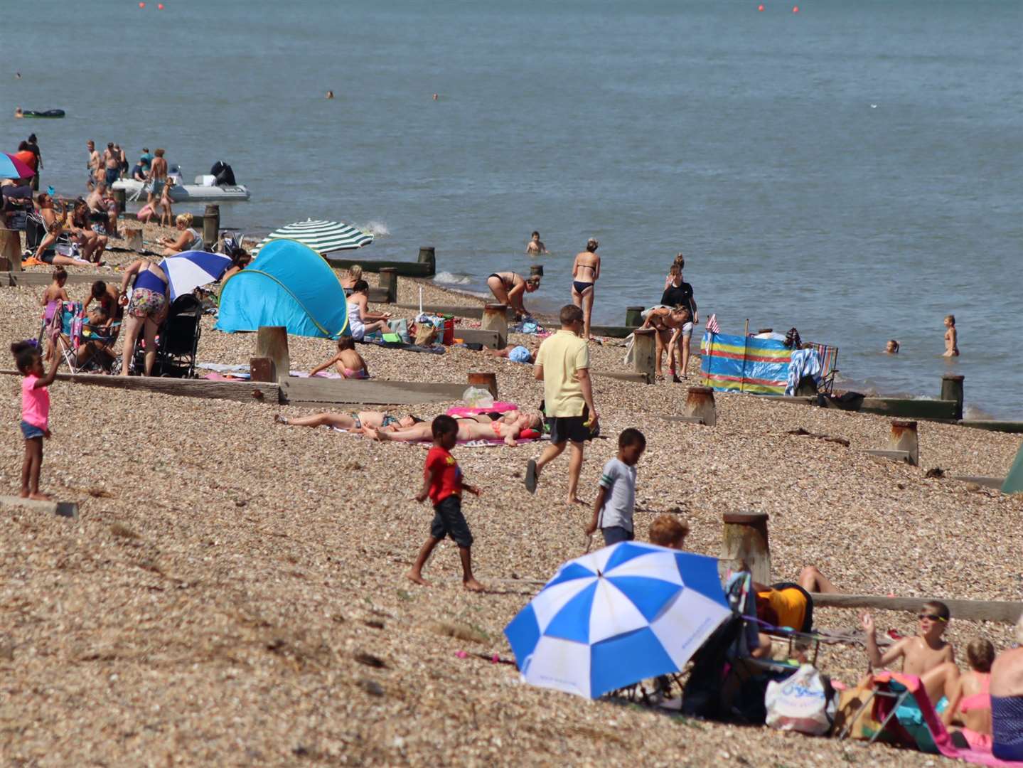
The first heat health alert of the year has been issued, and it covers Kent.
A yellow alert by the UK Health Security Agency and the Met Office is in place from 9am on Friday to 9am on Monday, as a heatwave is expected to sweep across the country.
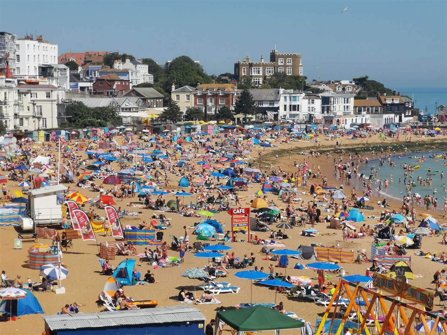
Forecasters say temperatures will rise later this week and into the weekend, with a plume of warm air being drawn in from the south.
The mercury could peak at about 30C in some parts of England and remain well above average at night.
It was reported yesterday how temperatures could climb to 25C in parts of Kent.
Dr Agostinho Sousa, head of extreme events and health protection at the UK Health Security Agency, said: “In the coming days we are likely to experience our first sustained period of hot weather of the year so far, so it’s important that everyone ensures they keep hydrated and cool while enjoying the sun.
“Forecasted temperatures this week will primarily impact those over the age of 65 or those with pre-existing health conditions such as respiratory and cardiovascular diseases.
“If you have friends, family or neighbours who you know are more vulnerable to the effects of hot weather, it is important you check in on them and ensure they are aware of the forecasts and are following the necessary advice.”
The yellow alert covers the six regions including London, East Midlands, West Midlands, east of England, south east and south west.
Met Office deputy chief meteorologist Dan Harris said: “Temperatures will rise later this week and into the weekend, with a plume of warm air being drawn in from the south. Temperatures over the weekend could peak around 30°C in some parts of England and remain well above average during night-times.
“Coupled with the rise in temperatures is an increase in the likelihood of some potentially heavy and thundery showers, which could bring some localised disruption in the far southwest from as early as late Friday, but more likely more widely into the weekend, though it is not possible to be definitive about exact details this far from the potential event.”