More on KentOnline
More on KentOnline
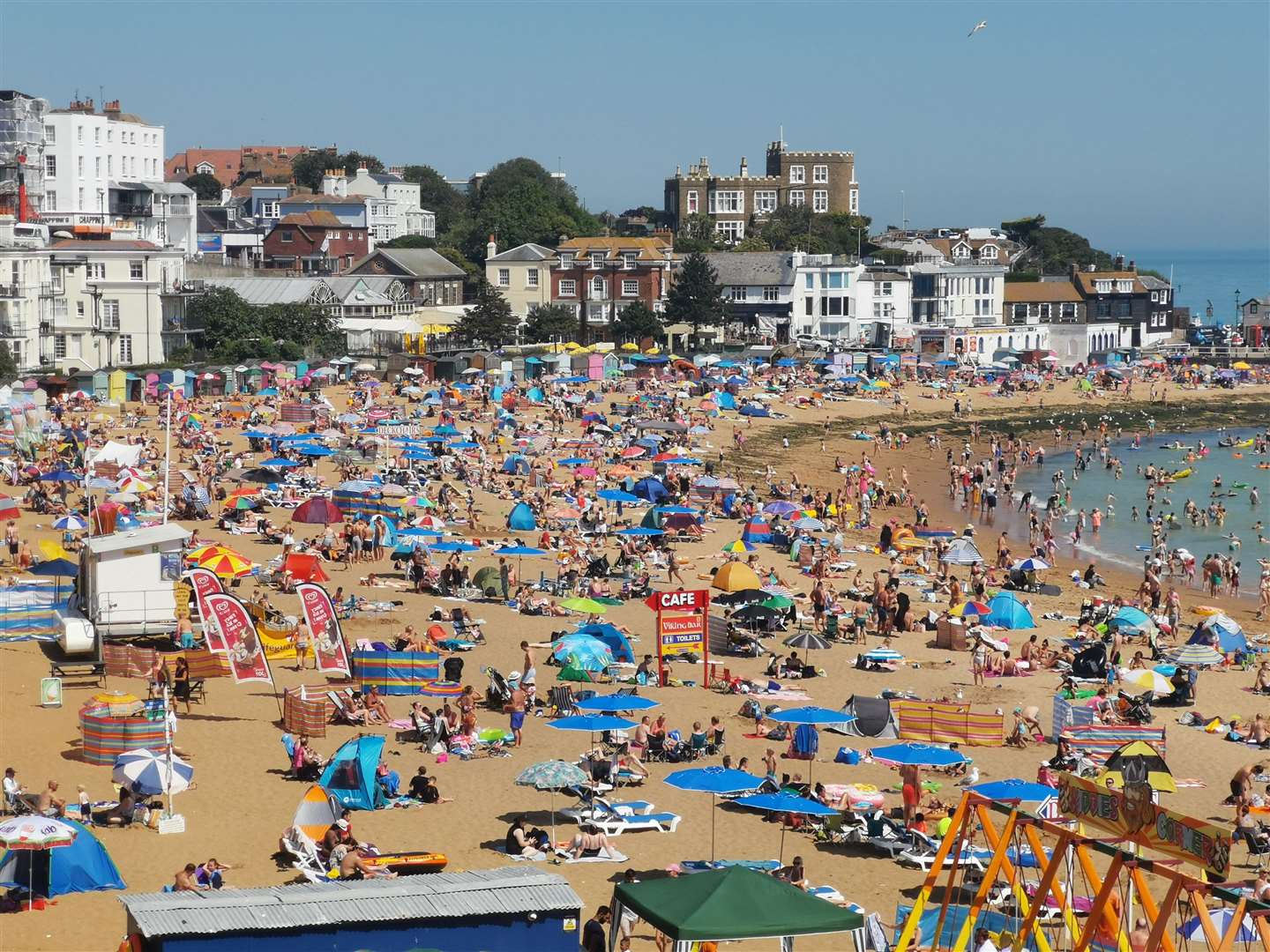
A three-day heat health warning has been issued for Kent with temperatures expected to skyrocket into the 30s.
The yellow alert is in place until 9am on Wednesday as very hot conditions are predicted across the county.
Issued by the UK Health Security Agency (UKHSA) and the Met Office, the alert is to provide an early warning when adverse temperatures are likely to impact the health and well-being of the population.
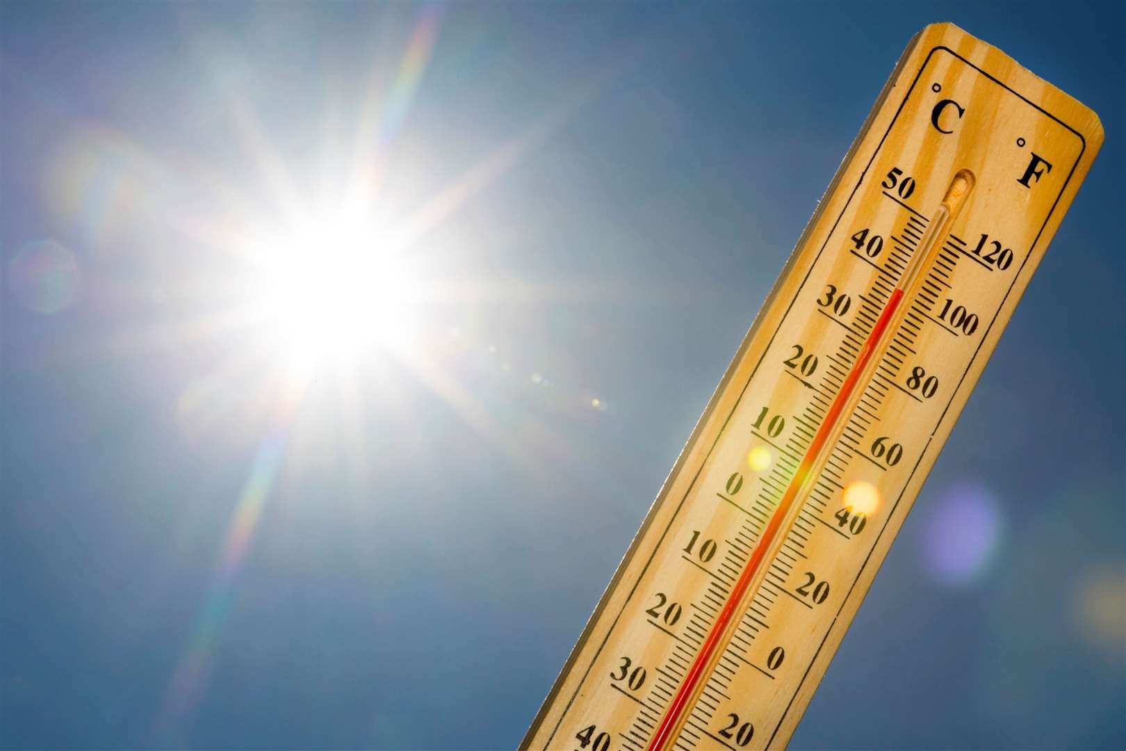
The Met Office has provisionally confirmed today will be the hottest day of the year so far.
Thermometers hit highs of 25C in the county yesterday, but the forecast suggests Kent will reach 35C today.
High pressure winds drawing in warm air from Europe caused temperatures to climb yesterday and remain high today.
But they are expected to return to average levels from tomorrow, the Met Office said.
Across Kent, Maidstone will reach highs of 32C at around 3pm, while Margate and Sheerness will peak at 31C.
Temperatures are unlikely to exceed the 40.3C recorded at Coningsby, Lincolnshire, on July 19 2022 - the highest temperature ever recorded in the UK, according to forecasters.
Met Office forecaster Craig Snell said: “It’s going to be hot.
“The weather is coming with a lot of humidity, so it will feel quite uncomfortable out there across central eastern England.
“Elsewhere, it’s still going to be warm and humid, but the hottest weather will be in central eastern England.”
The Met Office recommends that people keep curtains closed during the peak of the day and drink lots of water.
London, East Anglia and the home counties will experience the warmest weather, with highs of 33C expected in London, 26C in Manchester and 21C in Edinburgh.
Thunderstorms are expected in Northern Ireland, Scotland and northern England on Sunday night and early Monday morning, leading to torrential downpours in some areas.
The Met Office has issued a yellow weather warning for the affected regions over the next 24 hours, telling drivers to expect spray on the roads and some road closures.
Mr Snell said: “Thunderstorms are already beginning to move into the Republic of Ireland.
“They will start to move up into Northern Ireland later this evening and then move across Scotland and northern England as we go through the night and into tomorrow.
“It could be potentially quite nasty in places up there.”
He added: “Although we probably won’t see that severe weather across the south, that system will gradually bring some cooler temperatures to all parts as we go through Tuesday and Wednesday, with highs back up to the high 20s rather than mid 30s.”
The hottest day of 2024 so far was Friday July 19, where temperatures reached a sweltering 31.9C in central London.