Unlimited Digital Access / Get £25 off your Annual Digital Subscription! Use code 25OFF
GET STARTEDMore on KentOnline
Unlimited Digital Access / Get £25 off your Annual Digital Subscription! Use code 25OFF
GET STARTEDMore on KentOnline
The county could be set for more snow showers towards the end of the weekend.
Yesterday we reported the Met Office had issued a weather warning for rain for Kent.
This has now been widened to include the possibility of the white stuff making its way back to the county.
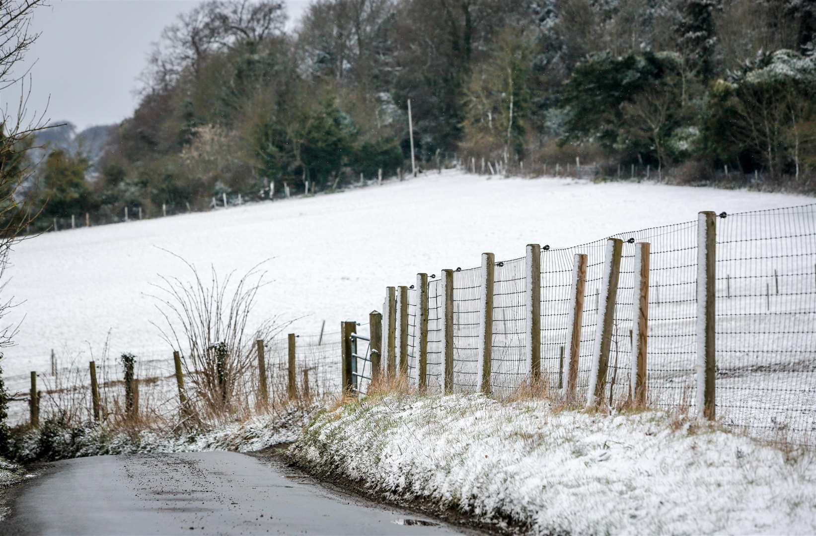
The yellow warning is in place from 9pm on Sunday until 11.59pm on Monday.
Forecasters say the rain is expected to last for much of Monday with accumulations of 25-40mm could occur, with perhaps 50-70mm in places.
A spokesman for the Met Office said: "The heavy rain will be accompanied by strong to gale force northerly winds and it may be cold enough to produce some snow on high ground."
However, it is unlikely to settle, the spokesman added.
A spokesman for Kent Highways said: "Although our gritters have been ‘stood down’, they are still available in their depots and could be called into action fairly quickly if necessary.
"However, as the amount of snow predicted is limited and because of the current road surface temperatures, the chances of the gritters being required seem very slight."