More on KentOnline
More on KentOnline
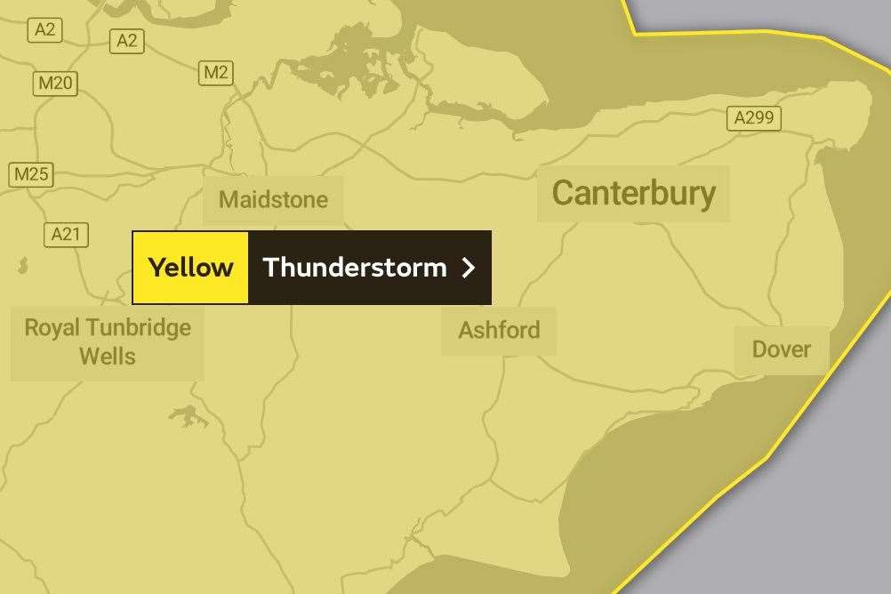
A severe thunderstorm warning has been released for the whole of Kent later today.
The Met Office has issued a yellow warning across the county and most of England with disruption to services expected.

The warning, which is in place for nine UK regions, is active across Kent from 1pm today until 6am tomorrow.
The full list of areas affected are London & South East England, Wales, East Midlands, South West England, East of England, North West England, Yorkshire & Humber, West Midlands and North East England.
Forecasters predict that heavy showers and thunderstorms will arrive and move northeastwards throughout this afternoon.
There is also a chance of thunderstorms becoming severe – with large hail, frequent lightning, gusty winds, and torrential rain producing 30 to 40 mm in an hour.
As a result, the Met Office says the extreme weather could cause problems on the roads and impact train services.
Homes and businesses could become flooded, with the possibility of a number of power cuts.
There is also a small chance of fast-flowing or deep floodwater causing danger to life.
They add: “The most likely scenario is that impacts are more limited and isolated, but should these more severe storms develop, flooding and disruption could occur.”
To keep up to date with all the latest travel news, listen to kmfm.