Unlimited Digital Access / Get £25 off your Annual Digital Subscription! Use code 25OFF
GET STARTEDMore on KentOnline
Unlimited Digital Access / Get £25 off your Annual Digital Subscription! Use code 25OFF
GET STARTEDMore on KentOnline
Heavy showers and even thunderstorms could hit the county today - after weather pundits issued a warning.
The Met Office has issued a yellow 'be aware' alert for the north and west of the county until 9pm tonight.
Heavy downpours are expected to be triggered by rising temperatures.
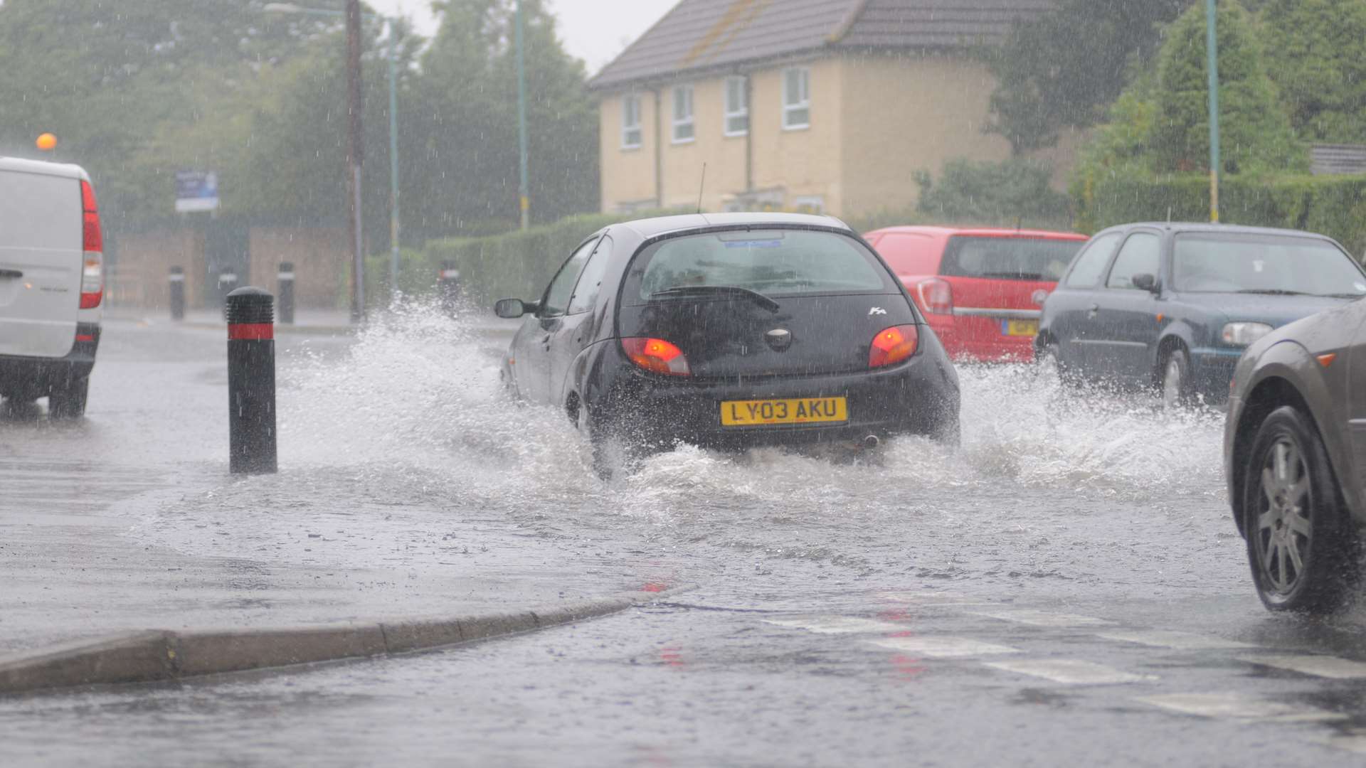
Between 15 to 25mm of rainfall is expected in an hour, bringing the risk of flooding, especially if affecting urban areas.
Travel could be disrupted in areas expecting heavy rainfall, which include Canterbury, Tonbridge, Sevenoaks and Rochester along with Whitstable, Margate and Dover.
The showers will slowly die out through the evening with most places becoming dry overnight.

A further yellow alert has been issued for an 11-hour spell of slow-moving heavy showers tomorrow. This could bring a possible risk of flooding to urban areas.