Map aims to show First World War casualties nationwide
Published: 02:45, 07 November 2020
Updated: 02:50, 07 November 2020
Community groups and researchers who have gathered data on their First World War fallen heroes are being invited to upload their findings to an interactive nationwide map.
People will then be able to search the map by street, school or surname for details of war casualties, along with information about their next of kin.
The initiative draws on the successful Streets of Mourning project, funded by the Heritage Lottery Fund, which mapped the names of Lancaster’s First World War dead on to a street plan of the city showing exactly where they and their surviving relatives lived.

The 2016 project involving Lancaster University, the Lancaster Military Heritage Group and the King’s Own Regiment Museum has now been extended to make the mapping facility available to researchers across Britain.
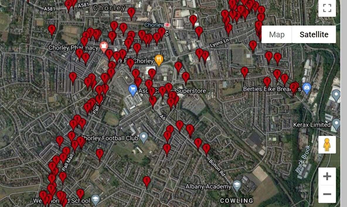
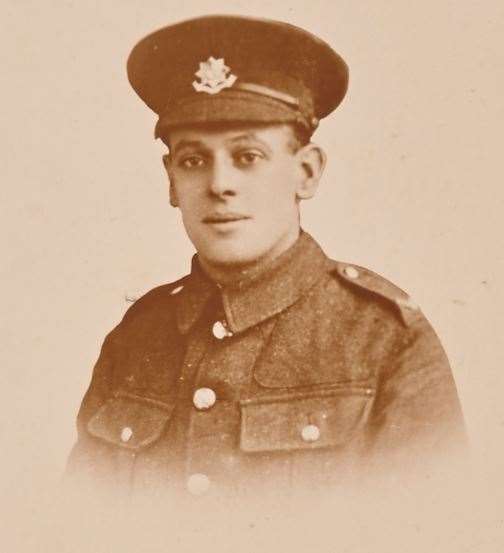
History teacher Adam Cree, who has spent many years researching the local impact of the war in Chorley, Lancashire, has now mapped it for the first time, including the story of Private Ernest Shaw, a bottle washer at a mineral works, who died on the day Armistice was announced on November 11 1918.
He was serving in the 2nd King’s (Liverpool) Regiment when he died of pneumonia and malaria at Salonika later that day.

Lancaster University history teacher and project member Dr Corinna Peniston-Bird said: “We would love to ensure that all projects completed in towns and villages across Britain over the last six years have this way of sharing and visualising their data for the use of families, schools, researchers, and genealogists locally, nationally and, indeed, internationally.
“Most of the projects we’ve researched across Britain have collected data on the soldiers from their localities but they haven’t been able to map them to give any idea of the impact on a street or community. So that’s the gap our mapping project hopes to fill.
“We’ve been struck at how significant the Centenary of the First World War has remained and now with this resource, there is nothing to stop any community adding their research on their local war memorial or Roll of Honour, so the map and its uses can keep growing.”
Contributors need to upload a spreadsheet listing first name, surname and street address (obligatory), along with any other data (optional) they wish to be displayed through the map.
The software then maps the information on to a current map of the locality with ‘pins’ that once clicked on show any other details about the person that have been uploaded – all linked to the address and name.
Mapping Loss: Communities in War and Peace, an initiative by Lancaster University, will be officially launched on November 11.
For further details visit http://wp.lancs.ac.uk/greatwar/
Read more
More by this author
PA News