More on KentOnline
More on KentOnline
Heavy rain looks as though it could spoil Kent's Bank Holiday Monday plans – with strong winds also predicted to cause issues within the next week.
The change in weather would be a stark contrast to the sunny days and fair temperatures that have graced the county over the weekend, with families making the most of the nice spring days.
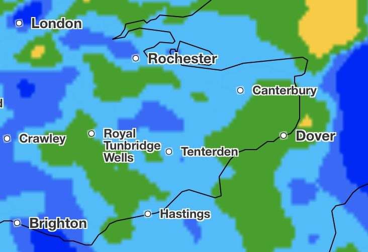
According to Met Office, the worst of the rain is set to hit the county on Monday between 10am and 3pm with a 90% chance of precipitation.
Fortunately, it looks as though the temperature will hold, with highs of 13C and lows of 7C as the night comes.
And it looks as though there is a chance showers may continue to linger round Kent throughout the week, with strong winds also set to add to the unpleasantness on Tuesday and Wednesday.
The Met Office is predicting the worst of the gusts to happen on Wednesday daytime, where winds of up to 44mph could sweep through the county.
Temperatures throughout the week are expected to fluctuate between 13C and 5C and no weather warning is in place yet.
Chief meteorologist Jason Kelly said: “A change is on the way for the UK weather as the dry, settled, and in places warm conditions are replaced by a more unsettled weather pattern from Sunday afternoon.

“This change happens first for Northern Ireland and Scotland, where Sunday afternoon rain will be replaced by blustery showers overnight and into Monday. Elsewhere, a mainly dry, but increasingly cloudy day on Sunday, with rain arriving for parts of Wales and southwest England by evening. Rain spreads east across other areas into Monday, with showers following.”